![]()
SERIES OF THUNDERSTORMS THAT LASTED 9 HOURS IN OUR AREA
This was the longest series of storms I've witnessed on record for the Bradninch area. The first storms developed at around 12pm (23rd) and started to develop further into Devon from the south.
By 2.15am on the 24th my lightning detector showed a movement to Exeter and Bradninch so I decided to go up on the hills to observe and record the nights events.
Several storms moved across the area with many CG's, some as close as a mile from where I was. By 4am one of the storms moved into where I was and at this stage I took the below photos all within 8 minutes and all within 6 miles of where I was positioned looking towards Exeter.
The sky was dramatic as the various storms developed and moved northwards. Before the main storm that bought the most rainfall moved in there was the most intense roll cloud that I have ever witnessed and the sky went completely dark.
It was well worth staying up all night for this natural spectacle.
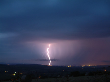
Photo showing a CG on Exeter airport at 04:26
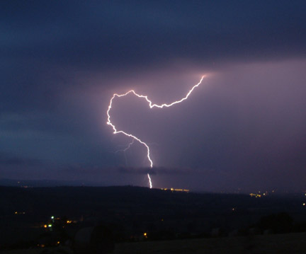
Photo showing a CG near Exeter airport at 04:29
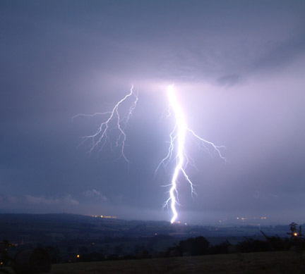
Photo showing a CG on a pylon near Broadclyst at 04:30
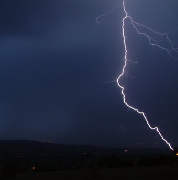
Photo showing a CG near Poltimore at 04:34